
AddPoint2Group
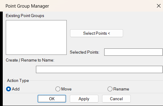
🧩 AddPoint2Group.LSP is a Civil 3D AutoLISP point group management utility that helps users add selected COGO points to a point group, move points between point groups, create new target groups, and rename existing point groups from a simple DCL dialog. The tool improves Civil 3D productivity by reducing manual point group editing and making point organization faster, cleaner, and more controlled.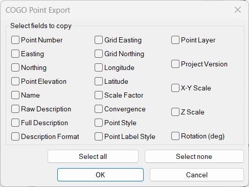
CogoPoinsInfoToClipboard
📋 CogoPoinsInfoToClipboard.lsp is a Civil 3D AutoLISP clipboard export utility that copies selected COGO point properties directly to plain text. The tool helps AutoCAD Civil 3D users extract point numbers, coordinates, elevations, descriptions, styles, layers, scale, rotation, latitude, longitude, and project version information without manually checking each point.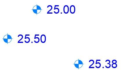
CogoPointElevation2Clipboard
📐 CogoPointElevation2Clipboard.lsp is a Civil 3D AutoLISP clipboard utility that copies elevations from selected COGO points directly to plain text. The tool helps AutoCAD Civil 3D users quickly extract point elevation values, paste them into Excel or reports, and reduce manual point property checking during survey review and CAD quality control.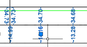
CopyC3DEntitiesToClipboard
📋 CopyC3DEntitiesToClipboard.lsp is an AutoCAD Civil 3D AutoLISP clipboard utility that duplicates selected entities, explodes the temporary copies, extracts generated TEXT and MTEXT values, copies the cleaned text to the Windows clipboard, and erases the temporary exploded geometry. It helps Civil 3D users copy visible label information quickly without intentionally exploding the original selected objects.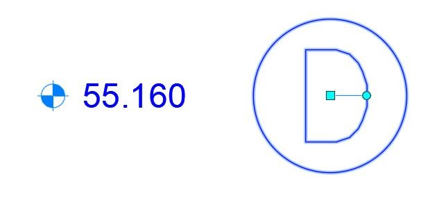
CogoPoints2Structures_vs.00
Sort / Purpose: Create a Civil 3D Structure (AeccDbStructure) at every selected COGO point, by copying a user-chosen template structure and placing the copies at each point’s location with rim set to point elevation. • Scope: Batch “stamp” manholes/inlets/etc. on COGO points. • Dependency: Uses only AeccDb COM objects (no AeccXUiPipe / AeccPipeApplication), so it avoids Civil 3D COM version issues.CogoPoints2Structures_vs.01
Purpose Create a copied Civil 3D structure at each selected COGO point, positioned and elevated from the point data. Scope Works directly with AeccDbStructure and AeccDbCogoPoint objects using COM, without AeccXUiPipe or AeccPipeApplication dependencies.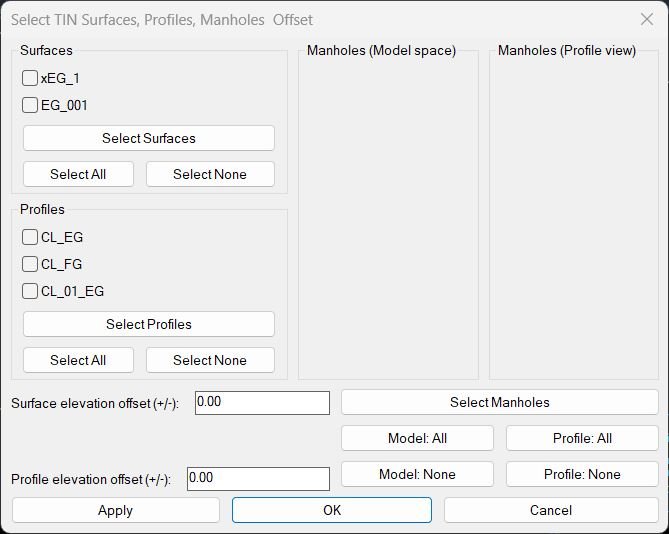
MH2SurfacesProfilesElevationTool_vs.00
Short description
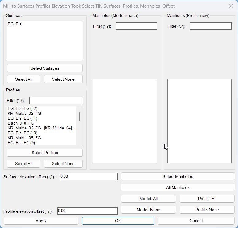
This LISP adjusts Civil 3D manhole structures so their rim elevations follow selected TIN surfaces or profiles, with elevation offsets, batch selection and a dialog that supports live Apply preview and final confirmation.
MH2SurfacesProfilesElevationTool_vs.01
Sort / Purpose: Civil 3D utility to set structure (manhole) elevations based on TIN Surfaces and/or Profiles, using a scrollable dialog with filters. • Scope: Works withAeccDbStructureand profile-view network parts, using profiles or surfaces as elevation sources, with separate offsets. • Priority: For each manhole, it tries Profiles first; if no valid profile elevation, it falls back to Surfaces.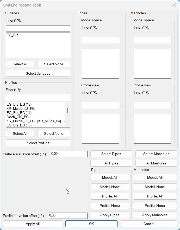
MHPipes2SurfacesProfilesElevationTool_vs.01
Sort / Purpose: A pipe-only shortcut command that still launches the same full UI. User may ignore manhole lists if not needed.- Type: Shortcut alias to the master interface
- Scope: Provides access to all pipe-related elevations
- Goal: Simpler entry for users working only with pipes

Pipes2SurfacesProfilesElevationTool_vs.00
Short description This LISP lets the user align Civil 3D pipes to chosen TIN surfaces and or profiles using elevation offsets, with a dialog that supports multi selection, live Apply preview and final OK or Cancel confirmation.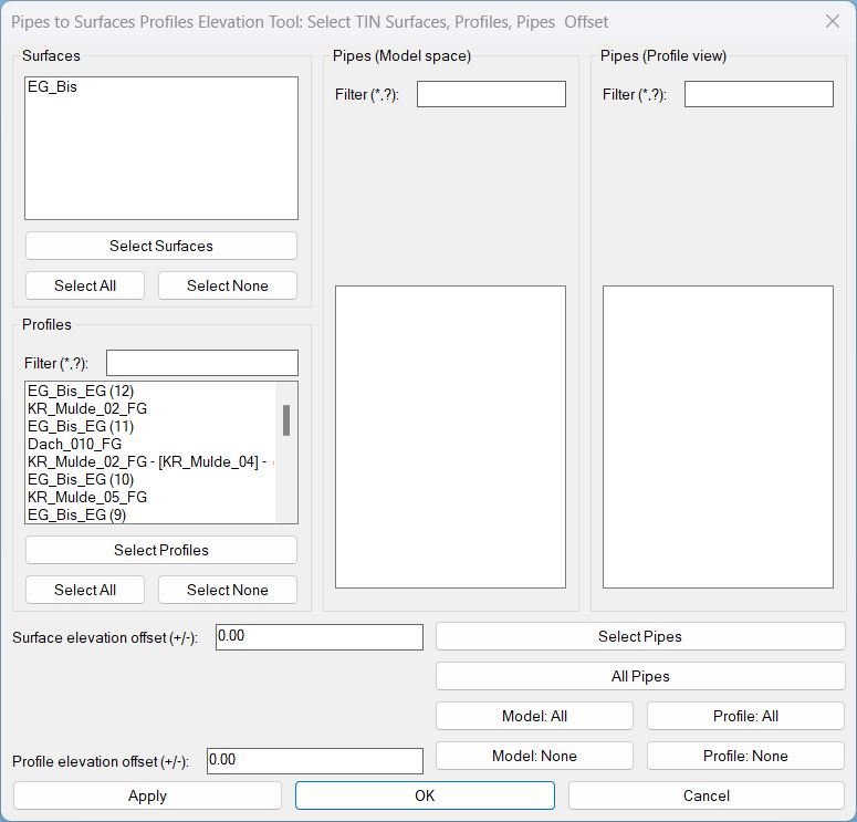
Pipes2SurfacesProfilesElevationTool_vs.01
Sort / Purpose: Civil 3D utility to set pipe invert elevations from selected TIN Surfaces and/or Profiles, using separate elevation offsets for each source and a scrollable, filterable UI for many pipes. • Scope: Works with AeccDbPipe (model), pipe profile-views, TIN Surfaces and Profiles, using wildcard filters and “Apply” inside the dialog so you can tweak/preview without closing it. • Priority: For each pipe, it tries Profiles first, then falls back to Surfaces if no valid profile elevation is found at pipe ends.